
GPS (Global Positioning System) technology has revolutionized the way we navigate our world. From personal smartphones to commercial airliners, GPS has become an integral part of our daily lives. One of the most significant applications of GPS technology is in car navigation systems. In this article, we will explore how a car’s GPS navigation system works, the technology behind it, and its accuracy.
What is a Car GPS Navigation System?
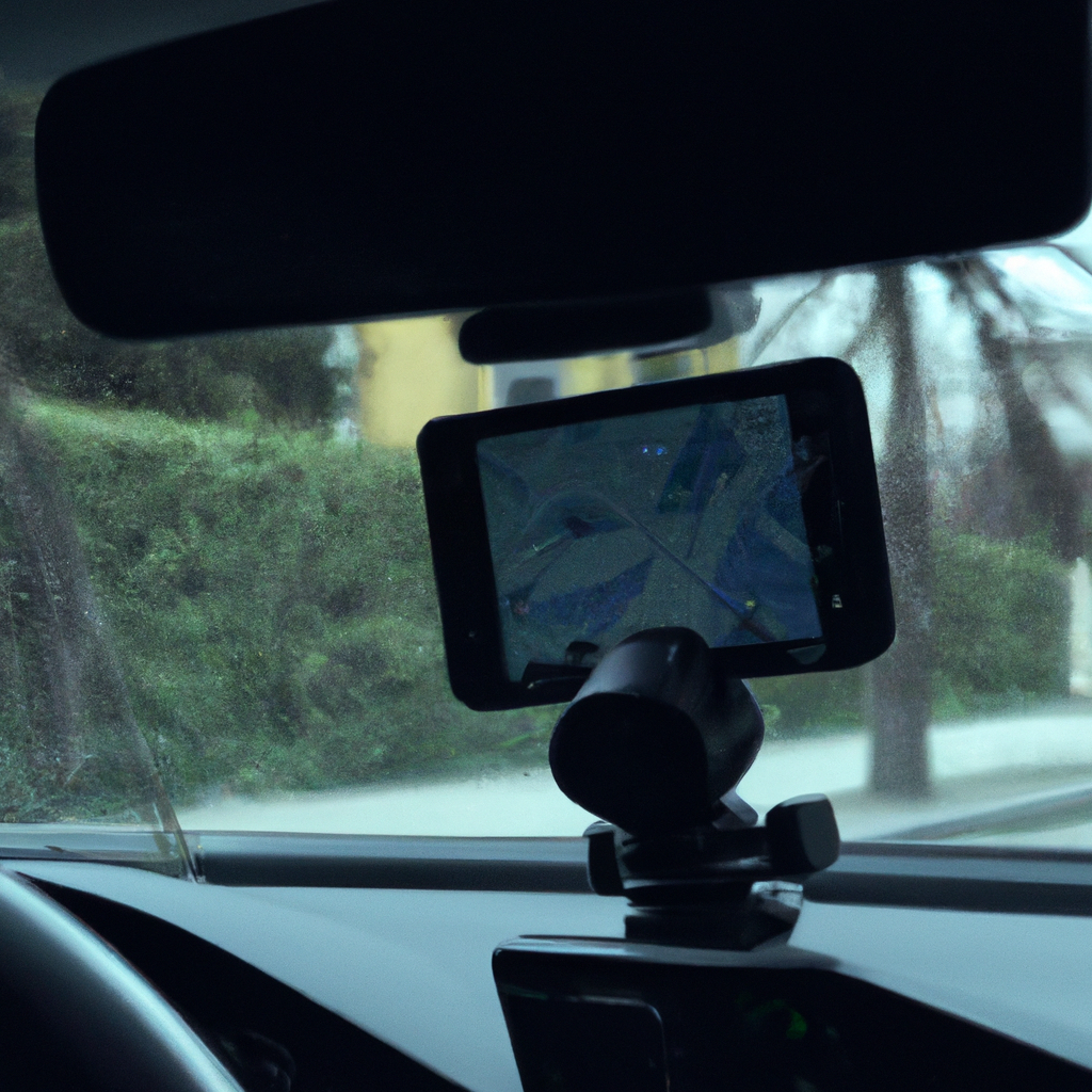
A car GPS navigation system is a device that uses GPS technology and software to provide drivers with directions and information about their location. It is an essential tool that helps drivers navigate unfamiliar roads and find their way to their destination.
How Does GPS Technology Work?
GPS technology is a network of 24 satellites orbiting the Earth at an altitude of 20,000 km. The GPS receiver in your car navigation system communicates with these satellites to determine your location.
The GPS receiver uses a process called trilateration to calculate your location. It receives signals from at least three satellites and uses the time it takes for the signal to travel from the satellite to the receiver to determine the distance between them. By calculating the distance from three or more satellites, the receiver can pinpoint your location on Earth’s surface.
GPS Mapping and Software
Car navigation systems use GPS mapping and software to provide drivers with directions and information about their location. GPS mapping is a digital representation of real-world locations, including streets, buildings, and landmarks. GPS mapping software is used to display this information on the navigation device’s screen and provide directions to the driver.
The software in a car navigation system uses GPS mapping to calculate the best route to a destination. It takes into account factors such as traffic conditions, road closures, and speed limits to provide the most efficient and fastest route.
GPS Accuracy
The accuracy of GPS technology depends on various factors such as the number of satellites in view, the weather conditions, and the quality of the GPS receiver.
Car navigation systems typically have an accuracy of around 5-10 meters, which is sufficient for most driving purposes. However, GPS accuracy can be affected by factors such as tall buildings, tunnels, and heavy cloud cover.
GPS Tracking and Vehicle Tracking Systems
GPS tracking devices can provide real-time location information about a vehicle. These devices can be installed in vehicles to track their location, speed, and other parameters. GPS tracking is commonly used by companies to track their fleet of vehicles and monitor their drivers’ behavior.
Vehicle tracking systems use GPS technology to monitor a vehicle’s location and performance. These systems can provide valuable information such as fuel consumption, driver behavior, and maintenance requirements.
Conclusion
Car GPS navigation systems have become an essential tool for drivers, providing them with directions and information about their location. GPS technology and software are used to provide these services, with GPS mapping and software calculating the best routes to a destination. GPS accuracy is affected by various factors, but car navigation systems typically have an accuracy of 5-10 meters. GPS tracking and vehicle tracking systems use GPS technology to monitor a vehicle’s location and performance, providing valuable information to companies and individuals.